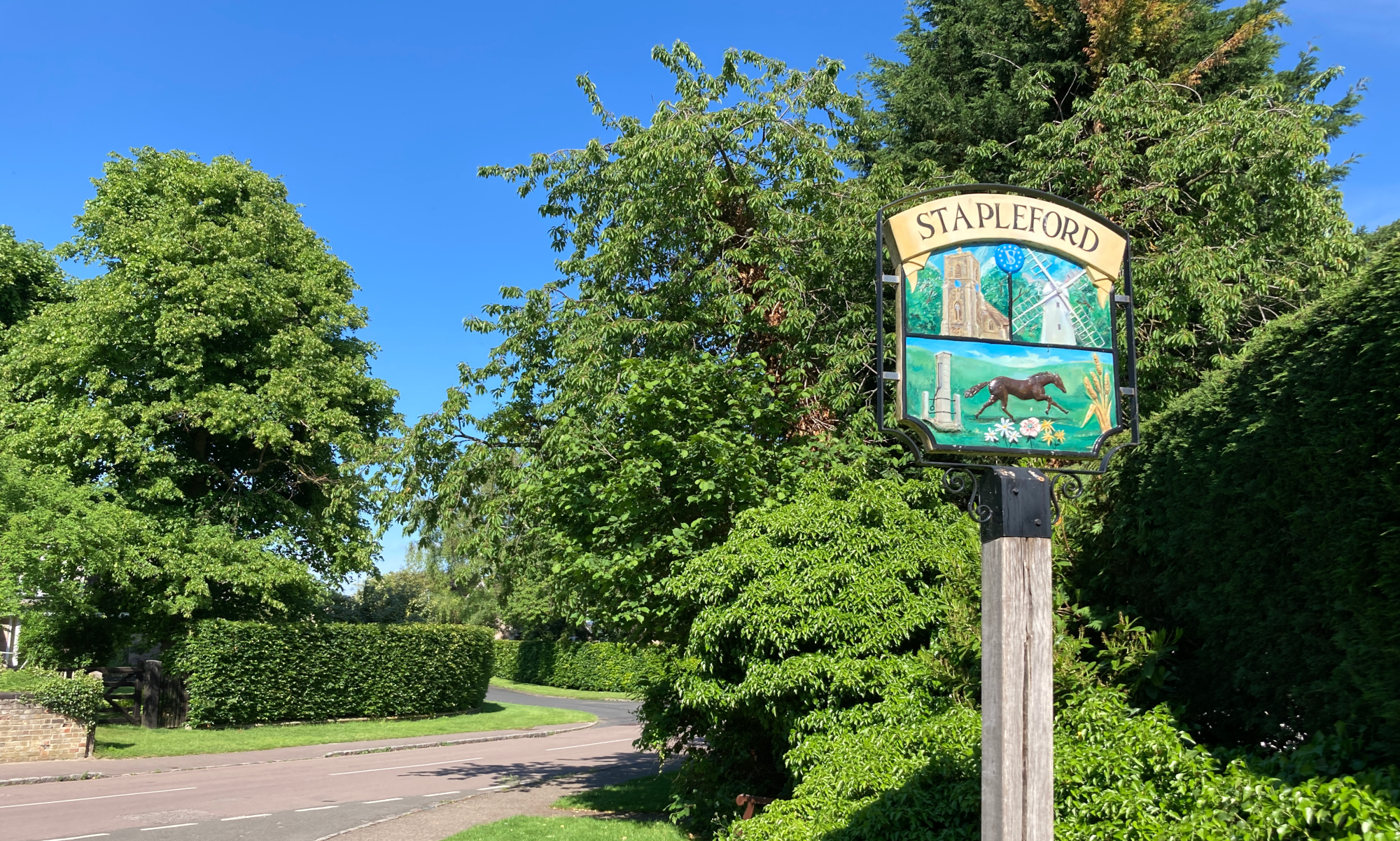
Stapleford History Society 10th October 2017
Talk by Richard Mortimer
Well, I for one had no idea what to expect from a talk with such a title, that’s for sure. However, Richard quickly demonstrated that at least we would not be bored, with the conversational and enthusiastic tone of his introduction. Straightaway he said he’d be telling us a story: archaeologists don’t know the truth. What they can do is make connections from the discoveries they unearth, looking for patterns and not being afraid to put forward suggestions, that is to say to speculate. I know from living with a keen amateur archaeologist that that is the truth: every time one cleverly contrived speculation gets demolished by some nasty little fact, there are always a dozen more to take its place. So we were on firm ground there, at least.
Richard’s story started from a community dig in Oakington over a number of years. Skeletons and ‘Ipswich Ware’ pottery were found first, test pits were dug (56 in all), two very unusual horse burials (and one cow) emerged, and even a great square-headed brooch (or 2?) as well. The picture was of settlement from the Romans, to 6th-, 8th, 9th-century enclosures, and on to the medieval field system, as well as evidence of ancient trackways, in particular one known as the ‘Antient Lane’, part of which was a ‘hollow-way’ by the church. This track is traceable to the north-west and the south-east for about 70 km, connecting with routes to Chester via Huntingdon and to Colchester via Haverhill; the line is still present in many parish boundaries.
In proper archaeologist fashion, then, Richard set about looking for patterns of the kind he described earlier, in relation to this long-lasting feature in the landscape, and one thing came to stand out. To the north of this line, a large proportion of village and town names ends in -ham, while to the south the suffix -ton is much more in evidence. Both these suffixes mean basically ‘enclosure’ or ‘settlement’, so why the different distribution? Richard ran us through a dazzling range of possibilities, backing his findings with numbers and graphs that set us all thinking and realising just how much inspiration as well as perspiration goes into those speculations archaeologists keep coming up with – some of which may even eventually become accepted ‘knowledge’. His current theory was that the -ham / -ton divide reflected the expansion of the Kingdom of Mercia in the Anglo-Saxon period, the -hams being villages that developed organically while the -tons were deliberately established to be centres of Mercian administration and tax-gathering. This of course generates a new set of questions to explore. So Richard will carry on with his researches, he said with relish – and we all could feel some of the excitement that keeps him on the quest. Who’d have thought?
[report by Maureen Street]