
The parish of Stapleford lies about seven km. south-east of Cambridge. It stretches for some 1¼ km. between the line of the Roman road called Wool Street to the north and the river Granta to the south. The soil lies upon alluvium and river gravels along the low, flat ground near the river. Further north a chalk down rises steadily from 30 metres to over 70 metres. At its highest points it is partly overlaid with glacial gravels.
The hill-fort called Wandlebury stands above a slope at the south-east edge of the northern hilltop. A timber faced rampart with a ditch 4 metres deep, enclosing 6 ha. (13½ a.) was constructed there in the third century B.C. Traces of habitation, including burials, have been found.
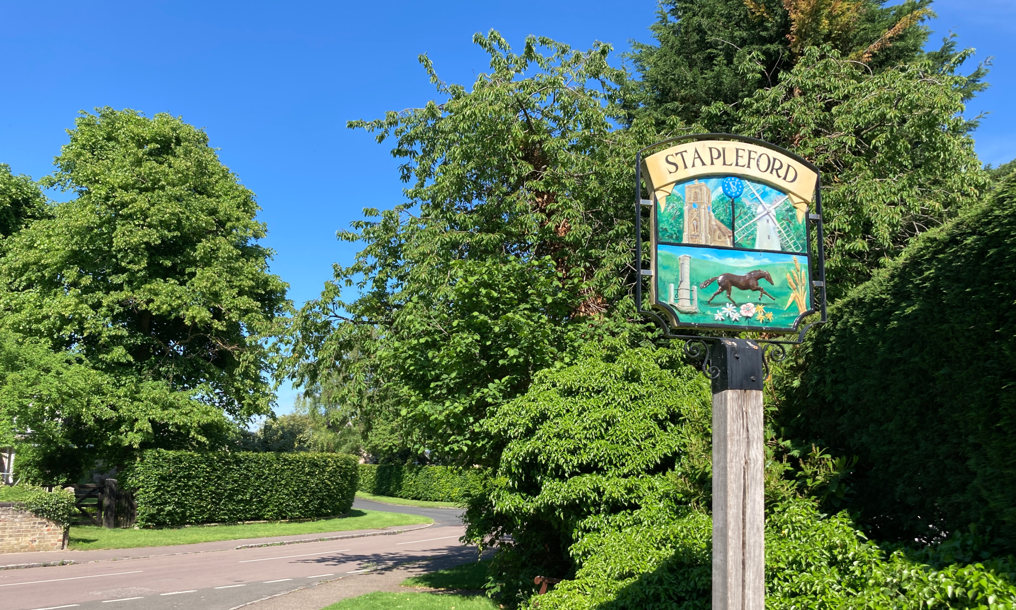
The village grew up around a small patch of gravel in the south-west corner of the parish, close to a ford across the Granta, a post by which gave it its name.
A causewayed enclosure dating from the Middle Neolithic (middle stone age) period, 3000 – 2400 BCE, encircles Little Trees Hill on Magog Down at the 65m contour. It has the characteristic segmented ditch and is around 265m in diameter. Constructed with internal and external banks with a 4m deep ditch in mostly 10 to 15m segments. One longer ditch section of 30m has been identified. Atop this hill is a Bronze Age Bowl Barrow.
For additional information about the history of Stapleford visit British History Online